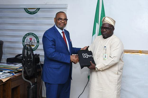
The Surveyor General of the Federation (SGOF), Abduganiyu Adeyemi Adebomehin, has reiterated the importance of integrating mapping and geospatial intelligence into Nigeria’s national security architecture, stating that security planning without accurate maps is incomplete and ineffective.
SGOF made this known while receiving the Group Managing Director of Nembe Exploration and Production Company Limited, Mr. Ike Okoronkwo, and his management team at his office in Abuja on Friday.
Just In: OSGOF Presents Scorecards, Challenges Across MDAs
Mr. Okoronkwo is a former General Manager at Shell Group and an alumnus of the University of Lagos with a degree in Surveying.
In his remarks, SGOF Adebomehin emphasized that mapping plays a central role in modern security strategies.
“I don’t understand how people talk about security without realizing the critical need for maps,” he said.
“We have fully digitalized our systems and can provide accurate maps for security and planning purposes if only agencies would subscribe and engage with us.”
Just In: Nigeria, Bangladesh Strengthen Defence, Agricultural Ties
Highlighting past efforts to promote the role of mapping, the SGOF recounted instances where only a few security stakeholders responded to invitations for technical presentations on the importance of geospatial data.
“Those who attended later admitted they finally understood why it is indispensable,” he noted.
He further disclosed that his office has successfully digitized geographic data for all 36 states of the federation, backed by an evolving database.
“We only exclude regions where we are not fully confident about the data integrity,” he added.
Speaking earlier, Mr. Okoronkwo applauded the relevance of the Surveyor General’s office in the areas of spatial data mapping, management, and geospatial marketing.
He noted that in many advanced countries, surveying began as a core component of military and defense operations.
“When GPS was first introduced, it was designed exclusively for military use,” Okoronkwo said.
“It later evolved into civilian applications such as Google Maps through innovations like digital mapping and spot image integration. Today, this data drives both defense and commercial systems.”
The Nembe E&P boss emphasized his company’s desire to reconnect with the Office of the Surveyor General for strategic collaboration.
“This visit is about reconnecting with an office that remains central to national development,” he said.
“It’s a privilege to be here and to present our conference materials as a sign of goodwill and future cooperation.”
He expressed hope for a stronger Nigeria, stating, “I never knew how valuable surveying was until I immersed myself in the field. It’s truly foundational to our national progress.”


